 |
|
|
| |
|
|
|
SUPERIOR HIKING TRAIL |
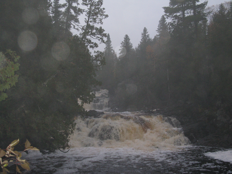
| 2011 was the 25th Anniversary of the Superior Hiking Trail. The trail was
first conceived of in the mid 1980's. The Superior Hiking Trail
Association (SHTA) was incorporated in 1986 and made their first request for
state funding for trail construction. Countless hours of construction
has been provided by volunteers. The trail was officially opened in
July of 1987 at Britton Peak, and in 1990 a Halfway Celebration was
held at Gooseberry Falls State Park with the completion of 140
miles of trail. Currently 62% of the money to run the SHTA comes from
memberships and private donations, 18% from the SHTA's store sales, 15%
from Grants and 5% from other sources. Currently 296 miles of trail have been completed from near the Canadian Border to Jay Cooke State Park through Duluth. On National Trails Day 2015 the total mileage goes to 302 miles with the addtion of another 5.9 miles of trail through Jay Cooke State Park to Highway 23. The final section of trail to the Wisconsin border is being studied, but till the North Country Trial is connect to the border there is no hurry to build it. Also, the trial will be rerouted in Beaver Bay over the summer of 2015. The North Country Trail, a 4600 mile trail (not yet completed) from eastern New York into North Dakota was designated by Congress to go from Jay Cooke State Park west toward Reemer MN. The problem is that this section contains a lot of swampy land that would require a lot of boardwalk to be built. People involved with the trail have already decided that they'd like to reroute the trail up the Superior Hiking Trail, then east to Ely MN via the Border Route and the Kekekabic Trails. From Ely MN a route for the trail would be needed to Grand Rapids MN. This will lengthen the trail but the route is scenic and already has a large base of volunteers that maintain it. Since the North Country Trail was designated by Congress, Congress needs to approve the reroute of the trail. The trail falls under the National Park system and they're maps already show the trail along this route. The original route would have taken the trail through a lot of swamp land which would have required a lot of boardwalk to be built, and constantly repaired. One of the nice things about the trail is that there is a good shuttle system in place, as well as some private people that provide transportation. The Superior Shuttle is in operation from the middle of May till the Middle of October and covers most of the trail on Friday, Saturday, Sunday and holidays. There are also private individuals running taxi service in Grand Marais and Two Harbors that can do shuttles. There are also a number of hikers that might be willing to help out if they're headed that way. The Superior Hiking Trail Assn. has a Facebook page and there is a second Facebook page set up which works better for those wanting to ask questions. On the second Facebook page look under the picture at the top of the page for the Files section. In there you'll find the most recent copy of the SHT Reference Sheet. I'll be replacing it on National Trails Day with the addition of the 5.9 miles of trail. I like to print it out and laminate it. I take it and the 5 map set you can purchase from the SHTA's store. The Shuttle bus also carrys these maps if you need to buy one. In the Files section you'll also find the locations of Post Offices and Grocery Stores along the trail. If you'd like information on current conditions you can often find someone that was on the trail recently. Often you can have an answer within an hour. There is always work going on along the trail so if you'd like to help out contact the SHTA. You can also look on the Superior Hiking Trail Assn's website for a list of projects. In 2010 a bridge was replaced. A high school class built the bridge, then volunteers hauled the bridge in and assembled it. In 2010 275 volunteers contributed 3500 hours in trail and campsite maintenace and construction. For the 5 miles of trail built in 2010 there was 2000 volunteer hours, with 500 of that to put a bridge over the Sucker River. There was also considerable time from the Conservation Corps used in trail construction. After the Duluth Floods many volunteers helped drag the Sucker River Bridge back into place after it floated away and tipped over. |
|
|
|


